M.E.T
M.E.T. Public Art
Reimagining NASA's Modular Engagement Tool Transporter for urban environments, the FLC created a mobile platform that carries diverse instruments for social exploration.
The Modular Engagement Transporter (M.E.T.) project includes actions for 2 core efforts:

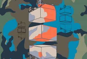

This urban MET facilitates experimental psycho-geographical mapping, documents informal human topographies, and catalyzes meaningful interactions between city inhabitants and their surrounding landscape.
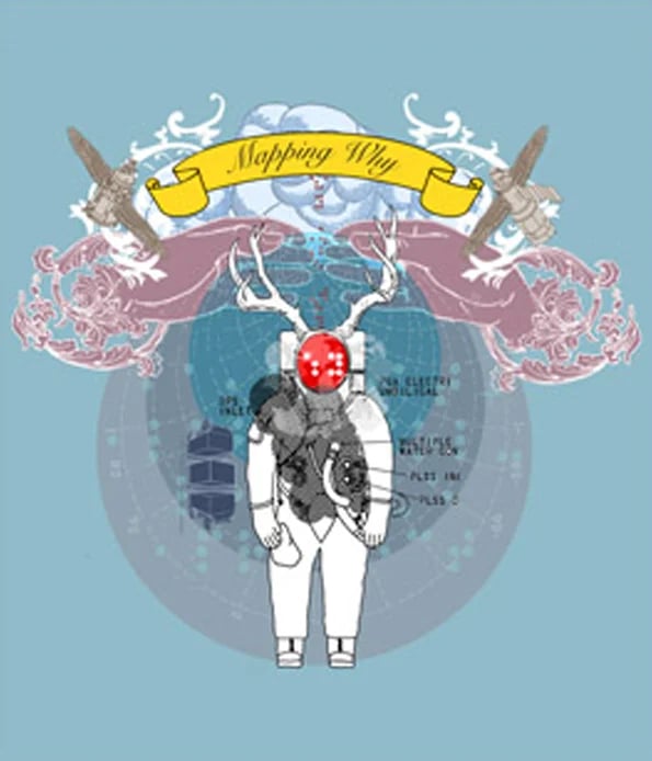
Mapping Why
Mapping Why explored different cultural realities across Washington DC neighborhoods that traditional census data can't capture.
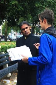

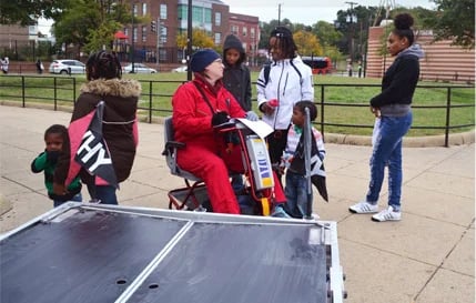
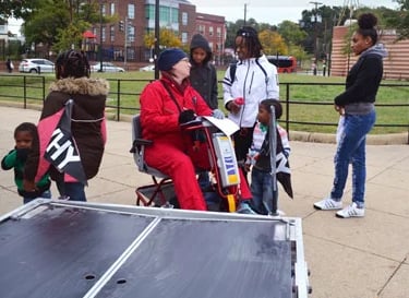
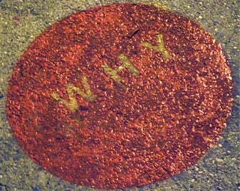
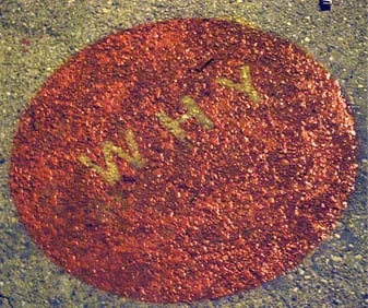
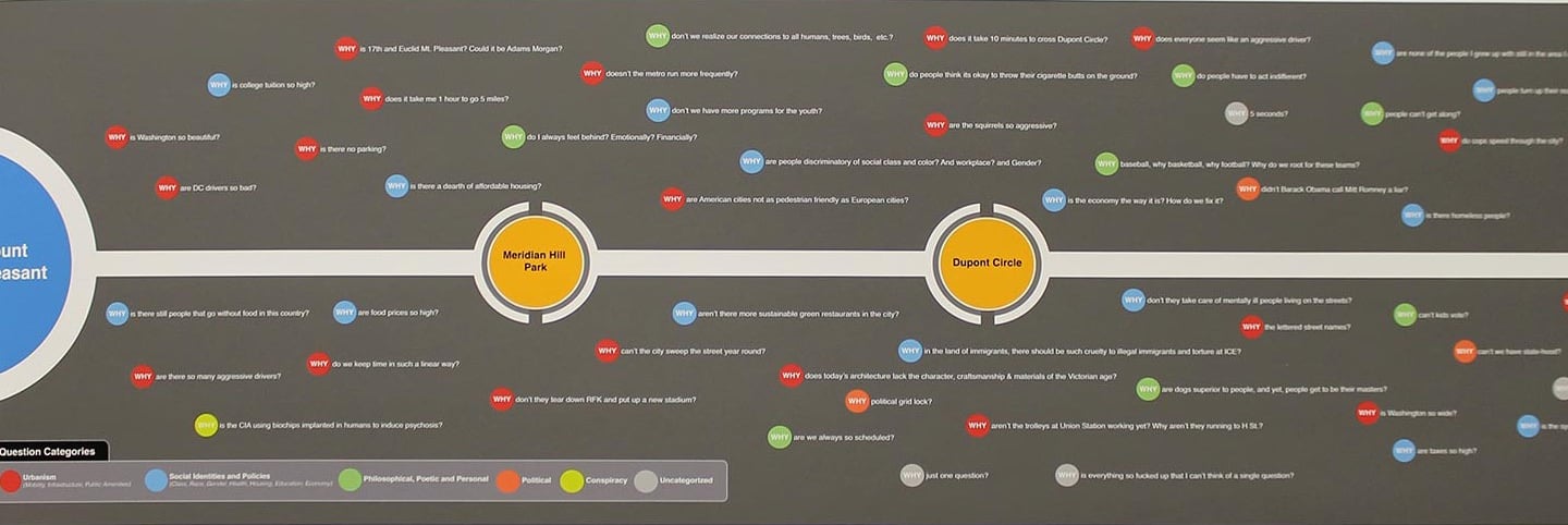
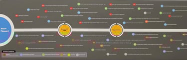
In October 2012, we created a walking route shaped like the word "WHY" in Braille, stretching from Mt. Pleasant to Good Hope Road in Anacostia, engaging participants along the way.
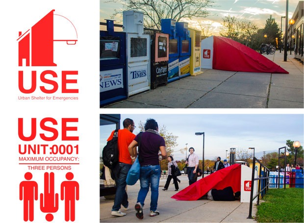
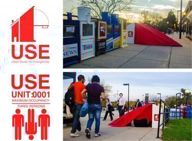
Urban Shelters for Emergency (USE)
By reimagining everyday urban infrastructure, the project challenges conventional assumptions about public space and its possibilities.
Mapping Why laid the groundwork for the U.S.E. project by mapping newspaper boxes throughout DC. These overlooked fixtures contain media for different community demographics but are underused by most residents. We saw their potential and designed a shelter system that repurposes this existing infrastructure, proposing a new approach to cityscape design—
creating all-inclusive intersections for the city's transient inhabitants
Our design transforms old newspaper boxes into tiny community spaces that adapt to people's needs.
Provides shelter, rest, and storage
Creates workspace for anyone who needs it
Offers a common gathering spot
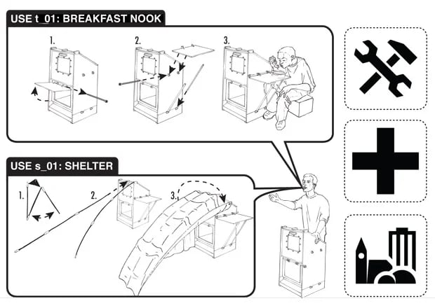
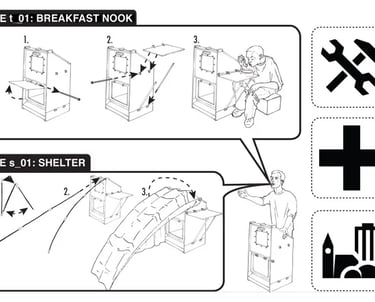
U.S.E. Design
small interventions make a big difference
Why it matters...
We show how cities can be more creative, flexible, and inclusive.
By reimagining everyday street infrastructure, we open up new possibilities for public space that serves everyone—especially people who spend time on the streets.
Consider a city designed with care and creativity, where
During the process of the WHY project, we investigated the nature of urban habitation by mapping the city’s informal infrastructure.